Quick facts
- Population
- ~3,200
- Location
- 68.3°N — 200km above Arctic Circle
- Best time
- June–August (midnight sun); Dec–March (aurora & ice road)
- Getting there
- Flights from Yellowknife; Dempster Highway by road
- Days needed
- 2-4 days
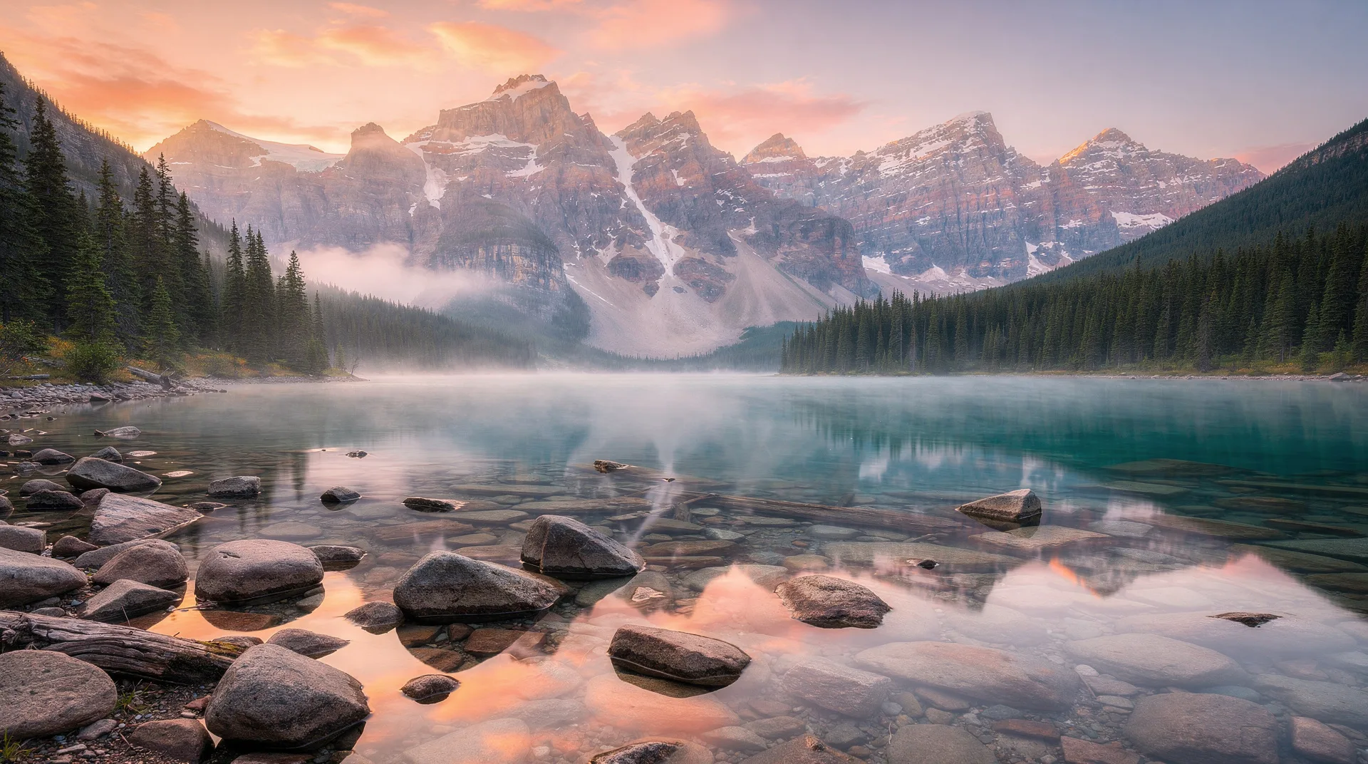
Inuvik sits at 68.3° North latitude — roughly 200 kilometres above the Arctic Circle — on the east channel of the Mackenzie River Delta in the Northwest Territories. It is the northernmost town on a road in Canada that is accessible year-round: the Dempster Highway reaches it from the south, and the Inuvik-Tuktoyaktuk Highway extends 137 kilometres further north to the Arctic Ocean coast in winter.
The town was built from scratch between 1954 and 1961, a planned government community intended to replace Aklavik as the regional administrative centre — Aklavik was prone to flooding and considered unsuitable for permanent large-scale development. Most of Inuvik’s infrastructure sits on pilings driven into permafrost; the buildings are connected by a network of elevated utilidors — insulated above-ground pipes carrying water, sewer, and heating lines that cannot be buried in permanently frozen ground. The utilidors are one of the most visible and distinctive elements of Inuvik’s built environment.
Today Inuvik has a population of around 3,200, drawn from Gwich’in, Inuvialuit, and Métis communities alongside government workers, resource industry personnel, and a small but growing tourism sector. It is the service centre for the western Arctic and the most practical base for exploring the Mackenzie Delta, the Tuktoyaktuk Peninsula, and the Tuktu Nogait National Park region.
Inuvik as an Arctic base
The Mackenzie Delta surrounding Inuvik is one of the largest river deltas in the world — a maze of channels, lakes, islands, and wetlands extending roughly 12,000 square kilometres. In summer, the delta is alive: beluga whales move through the main channels; Arctic terns and shorebirds nest in the wetland margins; musk oxen are visible on the tundra islands; and the whole system is lit by a sun that does not set from late May through mid-July.
The delta is navigable by boat from Inuvik, and several local operators offer guided tours through the channels to the Mackenzie River’s main course and the communities of the delta — Aklavik and Fort McPherson to the south, Tsiigehtchic to the east. These tours provide the best access to the delta ecosystem and the most compelling perspective on the sheer scale of the Mackenzie River system — Canada’s longest river, draining a basin larger than France.
Winter transforms the delta into an ice road network. Trucks travel on frozen channels connecting communities that have no summer road access. Snowmobile travel on the frozen delta extends to the Tuktoyaktuk Peninsula and beyond.
The midnight sun
From approximately May 24 to July 18, the sun does not set in Inuvik. This is not figurative — the sun traces a low ellipse across the sky without dipping below the horizon, providing continuous daylight for nearly eight weeks. The light at local midnight, with the sun sitting just above the northern horizon, produces a golden, low-angled illumination that photographers prize and that newcomers find profoundly disorienting.
The psychological effect of weeks without darkness is real. Hotels provide blackout curtains; melatonin is a useful travel supplement. The compensating quality is the sense of possibility: hiking, photography, boat tours, and simple outdoor sitting continue at all hours without consequence. The delta at 2 AM in continuous sunlight, with the silence broken only by tern calls and the sound of the current, is a northern experience unlike any other.
Aurora borealis
When the sun returns to a normal cycle in late August, Inuvik’s position under the auroral oval makes it an exceptional aurora viewing destination. The absence of significant light pollution — the nearest large city is Yellowknife, roughly 900 kilometres away — means that aurora displays appear in their full intensity. The aurora season runs from late August through April; peak activity probability is December through February.
The best viewing involves travelling away from Inuvik’s modest light pollution, which local operators arrange routinely. Driving a short distance out of town on the Tuktoyaktuk Highway and positioning yourself on open tundra with a 360-degree horizon provides aurora viewing that rivals any location in Canada for raw intensity.
Browse Canada Arctic and northern wilderness experiences including aurora and delta toursKey things to do in Inuvik
Mackenzie Delta boat tours
The essential summer activity in Inuvik. Local operators run tours through the delta channels ranging from a few hours to full-day excursions reaching the Mackenzie River’s main channel and the wider delta. Wildlife sightings — beluga whales, muskoxen, Arctic terns, shorebirds — are regular. The scale of the delta, with channels spreading to the horizon in all directions and the permafrost shores reflected in water the colour of tea, is remarkable.
Our Lady of Victory Church
Inuvik’s most photographed building — a round, igloo-shaped Catholic church built in 1958, with a connecting tube structure linking the church to the rectory. The architecture is a deliberate visual reference to the Inuit building tradition by a southern architect, and the result is arresting on the Inuvik skyline. The interior has murals by Mona Thrasher, an Inuvialuit artist, depicting religious scenes in Arctic settings. Worth visiting both for architectural curiosity and for the cultural intersection it represents.
Ingamo Hall and First Nations cultural events
Ingamo Hall is Inuvik’s main community gathering space, hosting Dene, Gwich’in, and Inuvialuit cultural events throughout the summer. The Great Northern Arts Festival (mid-July) is the major annual event — a ten-day celebration bringing together Indigenous and northern artists from across the western Arctic for exhibitions, demonstrations, and performances. For visitors interested in northern Indigenous art, this is one of the most accessible events in the western Arctic.
Hiking the tundra edge
The tundra begins immediately north of Inuvik, and day hikes into the open country north of town are possible without extensive logistics. The terrain is rolling, open subarctic tundra — polygonal patterned ground from permafrost cycles, dwarf birch and willow scrub, cotton grass in the wetter areas. Wildlife sightings include Arctic ground squirrels, ptarmigan, and the occasional musk ox on the elevated terrain.
Inuvik to Tuktoyaktuk Highway
Opened in 2017 as an all-season highway — Canada’s most recently completed significant road — the Inuvik-Tuk Highway provides year-round access to Tuktoyaktuk on the Arctic Ocean coast. In summer, the gravel highway passes through stunning Mackenzie Delta and Tuktoyaktuk Peninsula terrain. In winter, the highway is often combined with the ice road driving experience. The drive from Inuvik to Tuktoyaktuk takes approximately two hours each way.
Where to eat and stay in Inuvik
Inuvik has limited accommodation options relative to southern Canadian towns, but the main hotels are serviceable:
Arctic Chalet: The most atmospheric option — individual chalets scattered in the boreal forest edge north of the town centre, with northern character and reasonable aurora viewing from the property.
Mackenzie Hotel: Downtown, full service, the standard commercial choice for business travellers and tour groups. Rooms are basic but well maintained.
Nova Inn Inuvik: Recently renovated, with comfortable rooms and good northern breakfast. Convenient central location.
Dining options are limited. The Mad Trapper Pub is the social hub for a reason — it serves reliable northern comfort food (Arctic char, burgers) in an atmosphere that ranges from boisterous to philosophical depending on the night. The Café Gallery serves lighter fare and locally sourced items when available. Expect prices 30–50% higher than comparable southern Canadian restaurants — this is a remote northern town where every food item arrives by road, ferry, or air.
Getting to Inuvik
By air: Canadian North and First Air operate scheduled service from Yellowknife and Edmonton to the Inuvik Airport (YEV). One-way fares from Yellowknife run CAD 400–700; from Edmonton, CAD 600–1,000. Prices vary significantly with booking lead time.
By road: The Dempster Highway covers 735 kilometres of gravel from the Klondike Highway junction (40 km east of Dawson City) to Inuvik. The drive takes 2–3 days; see the Dempster Highway guide for full detail. The highway is open year-round except during river ferry transition periods (typically two closures per year during freeze-up and breakup, each lasting 2–4 weeks).
Cost realities
Inuvik is expensive by any Canadian standard. A hotel room runs CAD 180–280 per night. Meals in restaurants cost CAD 25–45 per person for a main course. Fuel is priced at northern remote rates — approximately 50% above Edmonton prices. A two-person, three-night visit to Inuvik including accommodation, meals, and a guided delta boat tour costs approximately CAD 1,800–2,500 excluding flights. Factor this against flights from the south and the total trip cost rises steeply.
Browse Yukon and northern Canada guided wilderness and cultural toursRelated destinations
Inuvik is the practical endpoint of the Dempster Highway and the gateway to Tuktoyaktuk on the Arctic Ocean. Tombstone Territorial Park lies along the Dempster route south. For a broader northern circuit, pair Inuvik with time in Yellowknife in the NWT or Dawson City in Yukon. The Dempster Highway 7-day itinerary covers the full route from Whitehorse to Tuktoyaktuk.
Frequently asked questions about Inuvik Northwest Territories: Above the Arctic Circle
Is there cell service in Inuvik? Yes — within the town, Bell and NorthwesTel provide serviceable coverage. Outside town on the Tuktoyaktuk Highway and Dempster, service disappears within a few kilometres. A satellite communicator is recommended for any backcountry or remote road travel.
What is the weather like in summer? Surprisingly warm — Inuvik sees summer highs of 20–25°C regularly, with occasional days above 30°C. The Arctic climate is continental, not maritime; summers are genuinely warm even at this latitude. Bring layers for the wind and for the rapid temperature drops that can occur with frontal passage.
Can I see beluga whales from Inuvik? Not reliably from shore, but guided boat tours on the Mackenzie Delta regularly encounter belugas in the main channels in July and August. The delta is one of the key beluga summering areas in the western Arctic.
Do I need to pre-book accommodation? In July and August, yes — the Great Northern Arts Festival and general summer tourism push Inuvik’s limited beds to capacity. Book at least 6–8 weeks in advance for summer. Winter has more availability but fewer options.