Quick facts
- Location
- Southwest Saskatchewan / Southeast Alberta
- Best time
- June–September (hiking); year-round (dark sky)
- Days needed
- 2–3 days
- Elevation
- Highest point in Saskatchewan at 1,392 m
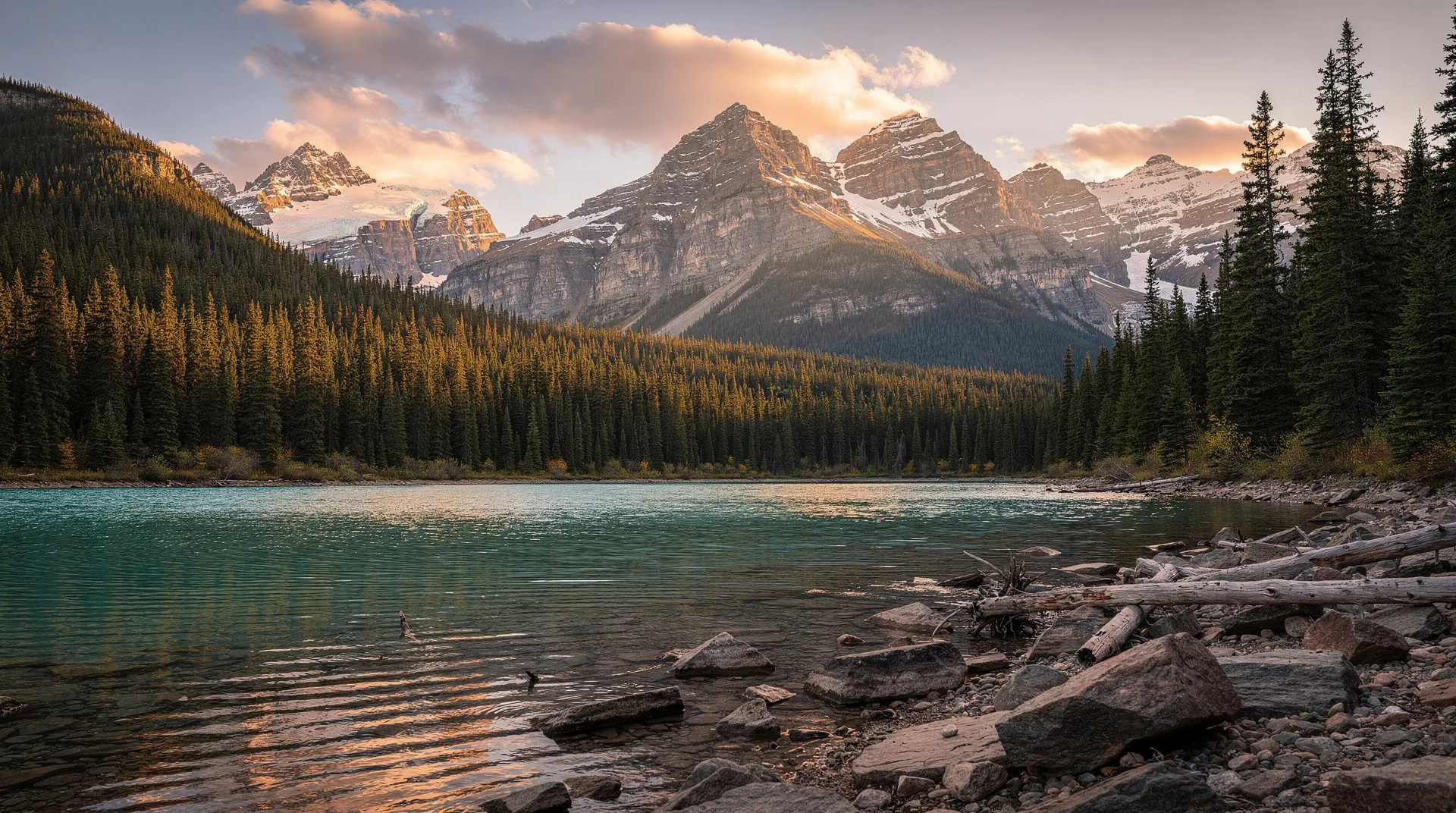
The Cypress Hills are an anomaly on the Canadian prairies. For hundreds of kilometres in every direction, the land is flat: wheat fields, canola, pasture, and the immense open sky of the plains. Then, rising 600 metres above the surrounding terrain, a forested plateau appears — an island of lodgepole pine, trembling aspen, and clear streams that survived the last Ice Age as a nunatak, a piece of land above the glaciers, and has remained ecologically distinct from the surrounding grasslands ever since.
Cypress Hills Interprovincial Park straddles the Saskatchewan-Alberta border at this remarkable landform, protecting both the plateau itself and the grasslands and coulees that fringe it. The park is jointly managed by the two provinces, with visitor facilities on both sides of the border and a backcountry connecting them. It holds Saskatchewan’s highest point of land, its best dark sky preserve, and an elk population visible from the roads on most evenings.
The landscape
The plateau’s ecology is genuinely unlike anything else on the prairies. Lodgepole pine — a tree associated with the Rocky Mountain foothills rather than the grasslands — covers much of the upper plateau, giving the hilltops an unexpected boreal character. Below the rim, the hillsides transition through aspen parkland to native fescue grassland, and in the valley bottoms, permanent streams (rare on the southern prairies) support riparian vegetation including coneflowers, clematis, and wild roses.
The plateau’s survival above the glaciers means it harbours species absent from the surrounding prairie. Least chipmunks scamper through the pine forests. Wild turkeys — introduced but now established — scratch through the undergrowth. The creek systems hold brook trout descended from stocks that pre-date European settlement.
Geology is visible in the hillsides: the plateau’s caprock is a layer of ancient Tertiary gravel, deposited millions of years before the prairies existed in their current form, and exposed in the bluffs and coulees around the park’s edge.
Dark sky preserve
Cypress Hills Interprovincial Park is a certified dark sky preserve — one of the first in Canada, designated in 2004. The park’s elevation, distance from major cities (the nearest is Medicine Hat, Alberta, 60 kilometres from the Alberta section), and dry prairie air combine to produce exceptional sky conditions. On a clear, moonless night, the Milky Way is visible to the naked eye as a defined band across the sky, and the density of visible stars is genuinely startling for visitors accustomed to urban or suburban skies.
The Saskatchewan section of the park, at the East Block, has designated stargazing areas and a simple observatory operated by the park during summer. Volunteer astronomers provide telescopes and guidance on summer stargazing evenings — check the park’s program schedule for dates.
The best stargazing months are July through September, when clear nights are most frequent. The period around new moon (when the moon is below the horizon) produces the darkest conditions. Arriving after midnight, when the Milky Way core is highest in the sky, is the optimal approach for summer photography.
For dedicated astrophotographers, Cypress Hills is among the most accessible dark sky preserves in Canada, combining good road access, camping infrastructure, and reliable clear nights.
Wildlife
Elk are the park’s most visible large mammal. A significant herd uses the plateau, and evening drives on the park roads almost always produce sightings. In September and October, bulls are bugling and the rut is active — this is an excellent time to visit for wildlife observation. Elk numbers in the park are high enough that they are a genuine management consideration.
White-tailed deer are present throughout the park; mule deer are common in the coulees and at the plateau’s edge.
Pronghorn antelope — the fastest land animal in the Western Hemisphere — graze the grasslands below the plateau rim and are regularly visible from the park roads on the grassland side. Their speed is obvious even when they are moving at a casual jog.
Coyotes are common, vocal at dawn and dusk. They are frequently seen crossing the roads and open grassland.
Wild turkeys, introduced in the 1960s, are now a conspicuous part of the plateau ecosystem. Large flocks strut through the campgrounds with characteristic indifference.
Birdlife is excellent: mountain bluebirds nest in the park and are reliable in summer; red-tailed and Swainson’s hawks soar the thermals above the plateau edge; and the grassland areas at the park’s margins produce meadowlarks, horned larks, and in some years, Sprague’s pipits — a grassland species of conservation concern.
Hiking
The trail network connects the plateau, the rim, and the valley bottoms, with most trails manageable as half-day or full-day excursions.
Horseshoe Canyon Trail (8 kilometres return) descends from the plateau rim into a dramatic coulee system, with views of eroded badland formations and good wildflower displays in June. This is the most geologically interesting trail in the Saskatchewan section.
Battle Creek Trail follows the creek through riparian vegetation in the Alberta section, with opportunities for brook trout fishing and wildlife observation in the willows.
Shoreline Trail circles Elkwater Lake in the Alberta section — a flat, easy walk suitable for families, with good birdwatching.
Baldy Trail reaches the highest point in Saskatchewan on a moderate trail from a trailhead near the Saskatchewan-Alberta border. The summit views extend 50 kilometres in every direction over the prairie below.
Practical information
Getting there: The Saskatchewan section (East Block) is reached from Maple Creek, approximately 27 kilometres north on Highway 21. Maple Creek is 200 kilometres southeast of Swift Current, which is on the Trans-Canada Highway. The Alberta section (Elkwater) is reached from Medicine Hat via Highway 41.
Accommodation: Both sections have campgrounds. The Elkwater section has a small village with a motel and some cabin rentals. The Saskatchewan section is more primitive, with campgrounds and backcountry sites only. Maple Creek has motels if park accommodation is full.
Fishing: Brook trout fishing in Battle Creek and several other park streams is popular. Licences required; check current regulations as stocking levels and limits vary.
Browse Saskatchewan prairies tours on GetYourGuideRelated reading
- Saskatchewan dark sky preserves: Grasslands and Cypress Hills
- Moose Jaw Saskatchewan: tunnels, spas and prairie heritage
- Prince Albert National Park: Grey Owl and Saskatchewan wilderness
- Prairies road trip: 7 days
- Saskatoon: things to do
The Cypress Hills reward visitors who pause long enough to understand the anomaly they represent. Standing on the plateau rim and looking out over the flat prairie stretching in every direction, at the same horizon the Blackfoot and Cree understood as the edge of their world, the strangeness of this forested island in the sea of grass becomes genuinely affecting. At night, when the prairie darkens and the Milky Way appears overhead, that effect compounds considerably.